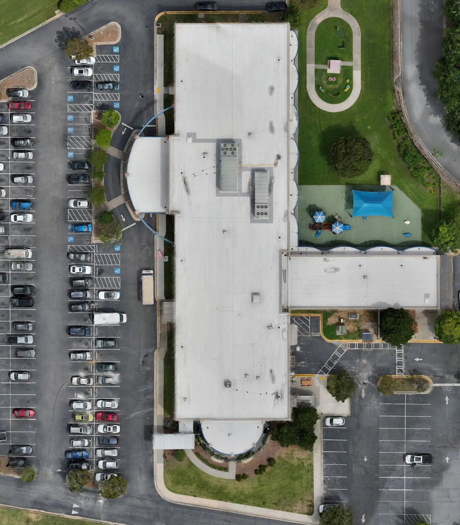
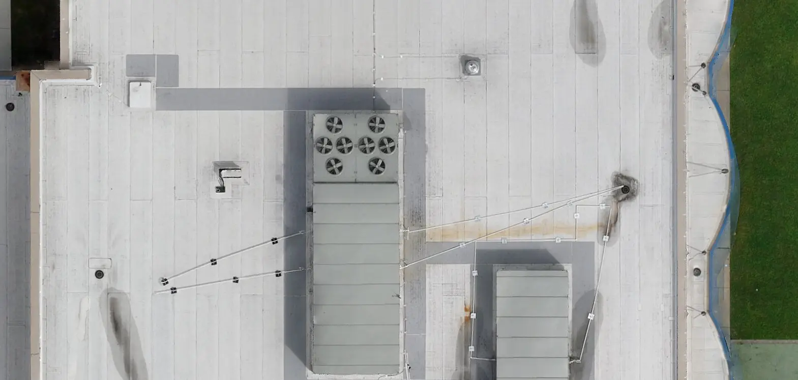
A roof orthomosaic is a scaled roof map
An orthomosaic, usually shortened to ortho, is one top-down image made from overlapping drone photos. Processing corrects the camera perspective so the result can be used as a scaled map. Your team can mark it up, share it, and return to it like another roof map.
Roofing teams already work from plans, aerials, sketches, and photos. An ortho gives them a current view of the whole roof instead of hundreds of loose images and a visual base for reviewing areas, penetrations, access, and repair zones.
How is it different from a drone photo?
A drone photo shows the roof from one camera position. Perspective affects how large different parts of the roof appear. Stitching photos into a panorama does not, by itself, make that view a reliable measuring surface.
An ortho brings the photos into a corrected top-down view. Keep the original photos too: they can show the sides of equipment and other details that are harder to understand in a flat map.
What it looks like in the estimating workflow
Bring the ortho into the estimating software your team already uses as a replacement for another aerial or satellite image. Confirm the scale with one known field measurement, then draw and mark it up.
- Use the ortho as the basemap in your estimating software so drains, gas lines, lightning protection, and other visible details can be counted from the roof view instead of rebuilt from field notes.
- Start with the whole roof, then zoom into the areas that need a closer look.
- Mark roof sections and repair areas before the scope conversation.
- Compare field photos and show reviewers exactly where a condition sits.
When the flat view is not enough
Use the ortho to lay out the roof sections and mark the work. Open the 3D roof model when you need to turn the roof and understand a wall, height change, or equipment location. Use source photos and rooftop close-ups to inspect the condition itself.
Neither view replaces the roof walk. Keep the hands-on checks with the job record so the person reviewing the takeoff can see what was checked in the field.
What to watch for
The ortho is still a top-down view. Use it as the estimating base, use the model and source photos for context, and verify the roof in the field when the decision requires it.
- Misaligned edges or breaks in a line that should be solid are signs to stop and review the ortho.
- Large slopes can look flatter in any top-down view.
- Areas underneath equipment remain hidden.
- Reflective metal can create noise and still needs hand measurement.